


Current status of the trails
The current status of the trails (open/closed) takes into account current official closures in the area. Hikers use the trails at their own risk. Users of mountain and alpine paths (marked as medium and difficult on the routes) must be sure-footed, have a head for heights, be in good physical condition and be aware of the dangers of the mountains (falling rocks, risk of slipping and falling, changes in the weather).
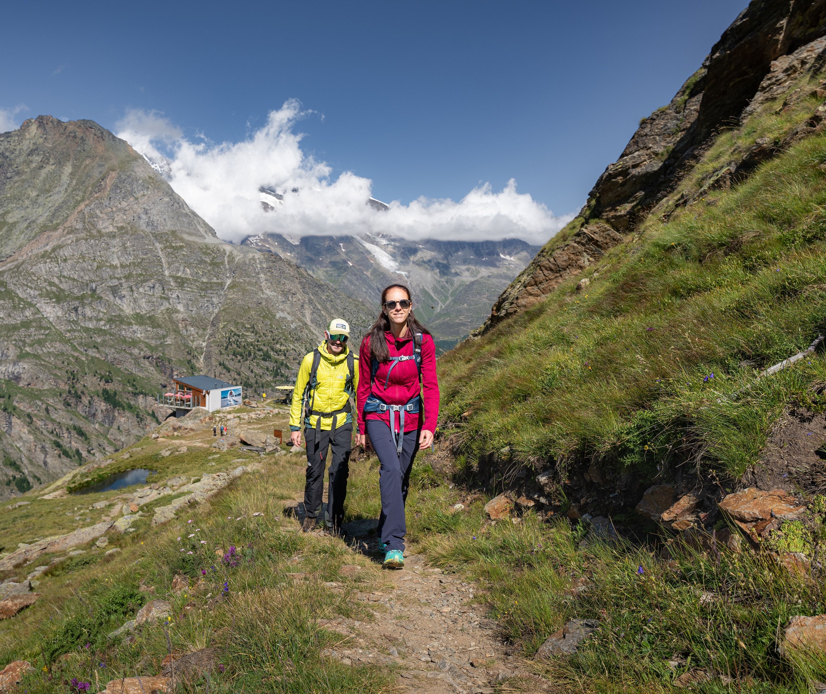
Ready for white-red-white?
In the Saas Valley, many hikes follow mountain trails (white-red-white) and some of our more challenging tours follow alpine trails (white-blue-white). Find out what categories of trail there are and what requirements you need to meet.
| Trail category | Requirements |
Hiking trail (yellow) Level of difficulty Outdooractive routes: | Hiking trails often run along wide paths. However, they can also be narrow and uneven. Steep passages are overcome with steps and fall points are secured with railings. Apart from the usual attention and caution, hiking trails do not place any special demands on users. We recommend wearing sturdy shoes with non-slip soles, appropriate equipment for the weather and topographical maps. |
Mountain trails (white-red-white) Level of difficulty Outdooractive routes: | Mountain trails open up sometimes difficult terrain and are usually steep, narrow and sometimes exposed. Particularly difficult sections are secured with ropes or chains. Users of the white-red-white routes must be sure-footed, have a head for heights, be in good physical condition and be aware of the dangers of the mountains (falling rocks, danger of slipping and falling, changes in the weather). We recommend that you wear sturdy shoes with a good grip, bring suitable clothing for the weather and a topographical map. |
Alpine footpaths (white-blue-white) Level of difficulty Outdooractive routes: | Alpine footpaths sometimes lead over snow fields, glaciers or scree slopes and through rocks with short climbing sections, sometimes without paths. Structural safety cannot be assumed. Users of alpine paths must be sure-footed, have a head for heights, be in very good physical condition and be familiar with the dangers of the mountains. In addition to hiking gear, you may need a compass, rope, ice axe and crampons. |