
Höhenweg Grächen – Saas-Fee
This challenging, panoramic high route, known locally as the Grächener Höhenweg (High-altitude Trail Grächen – Saas-Fee) runs from Hannigalp, above Grächen, to Saas-Fee. To reach the start point, jump on the Postbus from Saas-Fee to Grächen (ideally early in the morning) and then take the cable car up to Hannigalp from there. While at Hannigalp, you can take in views of the Matterhorn and the surrounding mountains.
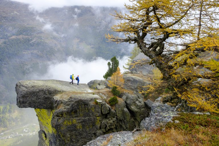
When you are ready to go, follow the signs for the Höhenweg. The path heads south through the woods towards the viewpoint at Furggen, which you’ll reach after about 45 minutes of walking. At Furggen, there is an incredible view over the Weissmies, Lagginhorn, Fletschhorn, Balfrinhorn and Bietschhorn and their surrounding valleys. Continue along the well-worn and occasionally exposed path, which crosses several gulleys, to put the rockiest section of the hike behind you. As you pass beneath the impressive summit of the Distelhorn, you reach Rote Biel, high above Eisten. From there, descend through the rich larch forest towards Schweibbach (a stream), which you cross via a wooden footbridge. After that, it’s time to climb again, towards Lammugrabu, where you traverse an impressive scree field. According to legend, the scree is a result of a dragon, which had been banished by the Saas people, devouring the rockface of the Schilthorn. Soon afterwards, you reach Senggbodu above Saas-Balen. Here the path enters larch woodland once again, passing Bärufalla and eventually descending into Saas-Fee.
Of course, it is also possible to start the route in Saas-Fee and walk towards Grächen. However, doing things that way round commits you to a Postbus journey of almost two hours after a long day’s hiking.
Difficulty: 4/5
Fitness level: 4/5
Distance: 16.6 km
Time required: 8 hours
Ascent: 1,056 m
Highest point: 2,383 m
Start: Mountain station Hannigalp, Grächen